- Bargain Items are brand-new products that have been dinged, dented, or scuffed, but are otherwise in usable condition.
- Bargain Items have limited inventory, and they are only reserved for you when checkout is completed.
- Bargain Items are non-returnable and non-refundable.
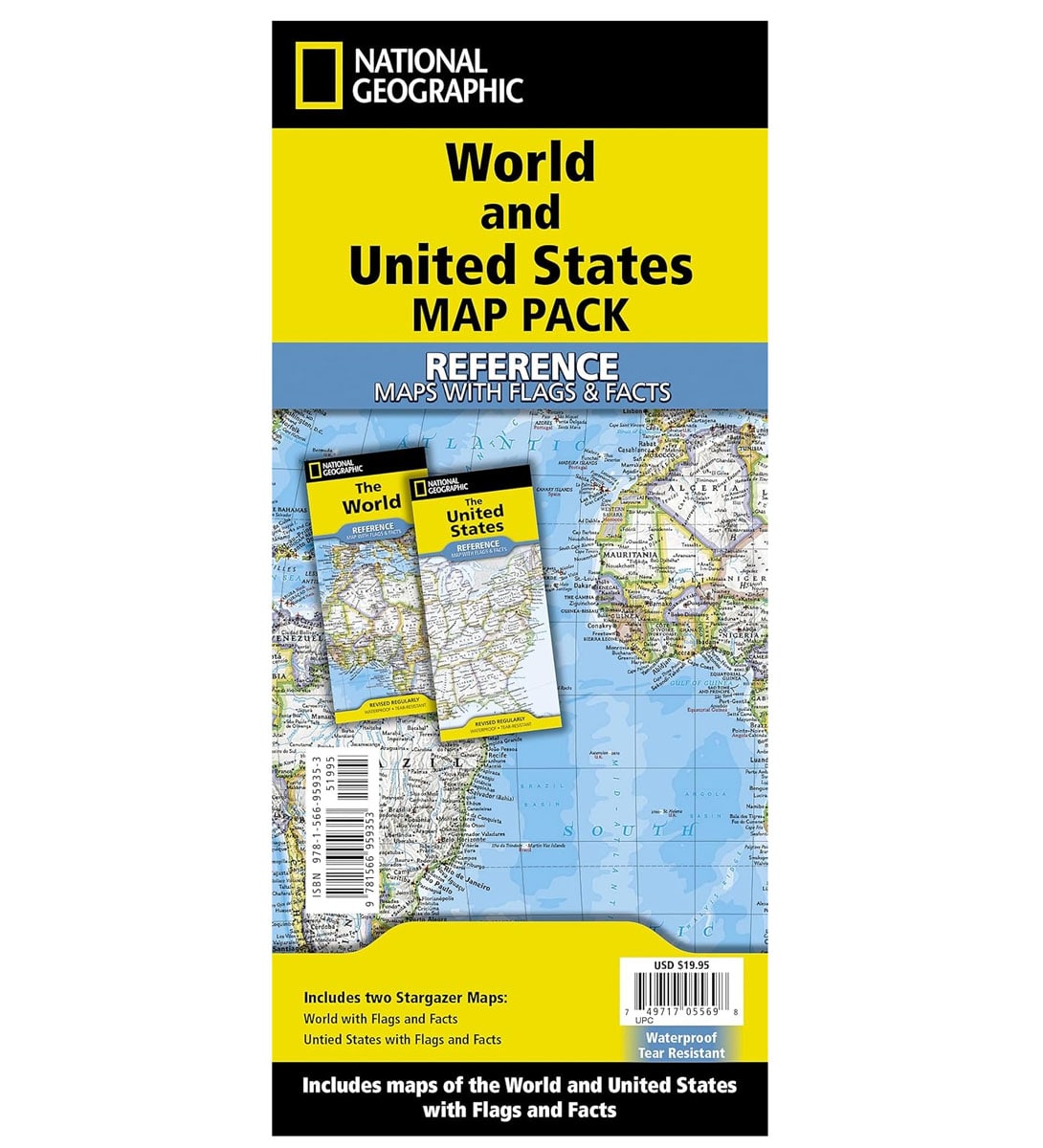
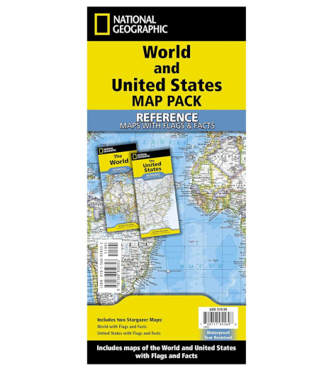
This bundle includes the following two folded maps in a clear, zipper pouch: 1 United States with Flags & Facts and 1 World with Flags & Facts. Both maps are tear-resistant, waterproof, and printed on durable synthetic paper to stand up to repeated use. Folded size is 4.25” x 9.25” and sheet size is 37.75” x 25.5”.
- The United States Map with Flags & Facts is a 2-sided, political fold-up map of the United States that’s packed with information. Boundaries are clearly defined with bright colors and hundreds of place names are positioned carefully to show major cities, mountain ranges, plains, lakes, rivers, physical features, and landmarks. Includes adjacent regions within Canada and Mexico. The other side of the map features flags, facts, and cultural & physical attributes for each state.
- World Map with Flags & Facts is a classic, fold-up world map that’s packed with information. International boundaries are clearly defined with bright colors, and place names are carefully positioned to show thousands of places, including all major bodies of water, cities & capitals, canals, airports, islands, and more. The shaded background shows valleys and labeled mountain ranges, and the inset maps show the north & south polar regions at the top, and population density & vegetation/land at the bottom. Features an abbreviation key and lists largest countries by population and by area. Distortions are minimized on this map, so countries like Greenland are shown accurately. When studying the map for a longer time, use a magnifying glass to make the text super easy to read! Folded size is 4.25” x 9.25” and sheet size is 37.75” x 25.5”. Map scale is 1:37,213,000.