
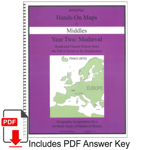

Adding geography and mapwork to your history studies is quick and easy with the Medieval Hands-On Maps for Middles workbooks. This workbook follows the reading and terminology found in the Remember the Days student text. Each map is labeled with what week it corresponds to in the text. This version of the Maps workbook has notable areas and bodies of water recorded on the maps for easier identification of the assigned locations. More detailed instructions are given for younger students. Each map also includes a Challenge question for older students who are ready for some harder geography/history work. All weeks have at least one map to go alongside the history studies. An answer PDF is emailed after your order is processed. 41 pages, spiral-bound. ~Rebecca
BiblioPlan Medieval History Hands-On Maps for Middles
Product Overview
- Mapwork provides a creative way to make connections with what students are learning!
- Maps are reproducible for immediate family use only
- Maps correlate with information from the Remember the Days text
Important
Non-returnable. Is, or contains, a digital item.Description
BP Hands-On Maps are geography workbooks that go with the lessons in Remember the Days and the Companion. Why do history students need geography workbooks? Because for BP students, geography and history go hand-in-hand. Map work shows students where history happened, and how geography can affect history.
Hands-On Maps for Middles are fun assignments for Remember the Days readers. Students complete one or two maps per week, depending on the topics covered that week. The directions are printed right on the page, which makes our maps easy to manage. A typical set of directions has students labeling countries, coloring bodies of water, and drawing symbols to show who went where.
Picking up where Volume 1 leaves off, BiblioPlan Medieval does some review and then delves into the fall of the Roman Empire. Year Two follows the previous format. There is one hardcover Remember the Days textbook for grades K-7, and two soft-cover Companion textbooks for grades 8-12. The 6-Units (34 weeks) of study will take your students on a historical journey around the world. Since the scope of study now includes a world view, the geography component has expanded to cover the whole globe.
From the Fall of the Roman Empire to about year 1600, unit studies include Early Christianity and the Rise of Islam, Europe and the Crusades, Asia, Exploration of the New World, the Renaissance and the Reformation, and the Elizabethan Era. Study is twofold: World History and Church History. A big focus is on Britain and France. World History will also study the Vikings, the Magna Carta, the Middle East, medieval India, the Ottoman Empire, art, science, Columbus, and the Tudor family. Within Church History learn about the first Christian martyrs to the first Christian emperor, Constantine. Study how the Church used and abused their power which led to some of the greatest Church schisms in history. You will study Christian creeds, councils, the Crusades, the Inquisition, key individuals, and the Reformation.
The Family Guide will take you step-by-step through text readings from either one of the textbooks. Further literature, audio, videos, maps, and activities are all found in individual spiral-bound books. Material found within each spiral-bound book may be reproduced for family needs. Select exactly what you want to cover with the program for each student (K-12) while studying Medieval History together.
| Product Format: | Looseleaf Book |
|---|---|
| Grades: | 2-8 |
| Brand: | BiblioPlan |
| Length in Inches: | 11 |
| Width in Inches: | 9 |
| Height in Inches: | 0.5 |
| Weight in Pounds: | 0.6 |