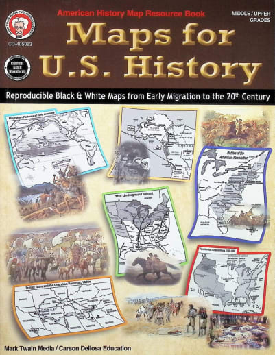
No more late-night internet searches for the perfect map template to supplement your history lessons! Offering 76 black and white, reproducible maps covering early American migration and Native American Culture Groups (with Tribe Names) through the 1930s Dust Bowl and climate regions, this valuable resource will be used again and again. The table of contents lists in chronological order by event or topic, making it quick and easy to find the right map when you need it. Excellent way to reinforce a student’s understanding of the geography of events in the U.S.
Maps for U.S. History
SKU
007399
ISBN
9781622238903
Grade 6-12
These icons are designed to help you quickly understand and learn important information about our products.
Teaching Method
Traditional
Teacher-centered curriculum commonly used in classrooms that may include a text, teacher manual, tests, etc.
Charlotte Mason
A methodology based on the work of a 19th century educator who maintained that children learn best from literature (Living Books), not textbooks.
Classical
A methodology based on the Latin Trivium (three stages of learning), including the grammar stage (memorization and facts), logic stage (critical thinking), and rhetoric stage (developing/defending ideas).
Unit Study
A thematic or topical approach centered around one topic that integrates multiple subject areas.
Montessori (Discovery)
A methodology based on the work of a 20th century educator that emphasizes student and sensory-driven discovery learning and real-life applications.
Other
Other methodologies
Religious Content
Secular
Contains content contrary to common Christian beliefs (i.e. evolution).
Neutral
Avoids religious or theoretical topics or presents multiple viewpoints without preference.
Christian/Religious
Faith-based or including instructional religious content.
Learning Modality
Auditory
Learns through listening, talking out loud or reading out loud.
Visual
Learns through seeing, prefers written instructions and visual materials.
Kinesthetic/Tactile (Hands-On)
Learns through moving, doing and touching.
Multi-Sensory
Curriculum that employ a variety of activities/components.
Presentation
Sequential
Curriculum progresses through well-defined learning objectives. Emphasizes mastery before moving to the next topic.
Spiral
Topics and concepts are repeated from level to level, adding more depth at each pass and connecting with review.
Conceptual/Topical
Focus is on the “why,” often with a unifying concept as well as specific skills; coverage may be broader.
Teacher Involvement
Low Teacher Involvement
Student-led materials; parent acts as a facilitator.
Medium Teacher Involvement
A mix of teacher-led time and independent student work.
High Teacher Involvement
Teacher-led lessons; may utilize discussions, hands-on activities and working together.
Additional Materials Required
No other materials needed
Everything you need is included.
Other Materials Required
There are additional required resources that are a separate purchase.
Other Materials Optional
There are additional resources mentioned or recommended but are not absolutely necessary.
Consumable
Consumable
Designed to be written in; not reusable.
Non-Consumable
Not designed to be written in; reusable.
Our Price
$10.99 $10.99 $8.25
Rainbow Savings: $2.74
Description
Publisher's Description of Maps for U.S. History
Help your child build US history and map skills through focused lessons, map activities, and more with this geography workbook for middle school and high school students.
The Mark
Twain Maps for US History Geography Workbook illustrates the geography
of historical events ranging from the first exploration and settlement
of the Americas to the post-Civil War years. This middle school and high
school geography book includes reproducible maps that can be made into
transparencies or digital copies to be used on a classroom projection
device.
From the first exploration and settlement of the Americas
to the post-Civil War years, Maps for U.S. History book serves as an
excellent resource for illustrating the geography of historical events,
such as settlement, wars, trade, peace agreements, and territorial
expansion, and includes:
• Reproducible black and white maps
Details
| Product Format: | Paperback |
|---|---|
| Grades: | 6-12 |
| Brand: | Mark Twain Media |
| ISBN: | 9781622238903 |
| Length in Inches: | 10.875 |
| Width in Inches: | 8.5 |
| Height in Inches: | 0.1875 |
| Weight in Pounds: | 0.45 |
Videos
Reviews