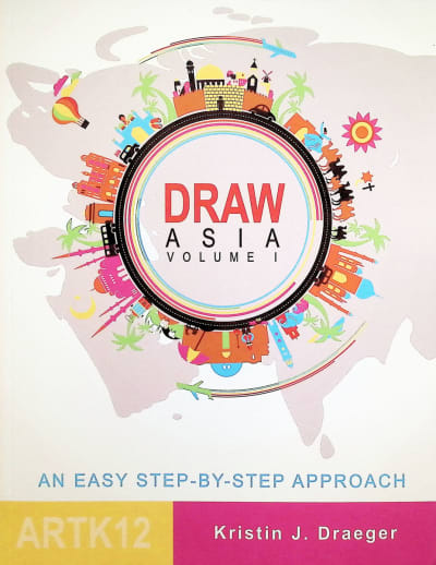
ArtK12: Draw Asia - Volume 1

ArtK12: Draw Asia - Volume 1

# 064782

Our Price: $18.95
Retail: $19.95
Save: 5.01% ($1.00)
In Stock.
Qty:

Item #: 064782
ISBN: 9781518887420
Grades: 3-8

Product Description:

Publisher Description:

Geography is essential to a child's education. And basic to that study is a simple outline of states, countries and continents. In Draw Asia: Volume I, I have tried to give students an easy introduction to committing the map of one-half of Asia to memory. Through simple, step-by-step instructions, students learn to draw each country as it connects to its neighbors and, with a little practice, will be able to draw this half of Asia as a whole.

Asia is big! It contains over 40 countries and many bodies of water, so it will require two volumes. This first volume covers the western half of Asia from the Sinai Peninsula to India. Volume II covers the eastern half from China to the Pacific Ocean.

Category Description for ArtK12 Draw the World Series:

Kids hear and read names of places in connection to history, people, events, books, vacation plans - everywhere! But without an understanding of geography, all places only mean "somewhere." This series aims to help children commit maps of regions to memory. With simple, fun instructions, children start at one end of a region and work their way around until they can easily draw the whole region from memory. Pages have the featured state or country name at the top, tan backgrounds and a colorful border across the bottom featuring buildings, landmarks, animals, and vehicles representative of the region. The middle of each page holds the surrounding states/countries/features learned so far, bordered in black and labeled with their abbreviation (states) or name (countries, major bodies of water), and the one being learned bordered in red along with memorable instructions for drawing it. For example, Learn to Draw Africa begins with drawing the Red Sea: "At the top, right side of the paper (not too close to the edge), begin with the Red Sea. It's easy to draw; it looks like a slug oozing its way up toward the top of the page." From there you'll add countries moving westward and then south, one at a time, until you can draw the whole continent! Text is a handwritten font and outlines are simple sketches. Though an actual map is always a nice resource, these simplified shapes will be much easier for young students to draw than all those little nooks and bumps! To contrast this series with the Drawing Around the World series, this book's sole focus is being able to draw the region and uses simple shapes, while Drawing Around the World also includes state/country facts and information, review of state/country names, blank map labeling, and more exact borders. Drawing Around the World is a write-in series, while you will practice these books with your own paper. Books run approximately 65 pages, measure 8.5"x11", sc. - Steph


Primary Subject
History/Geography
Grade Start
3
Grade End
8
ISBN
9781518887420
Format
Paperback
Brand Name
ArtK12
Weight
0.55 (lbs.)
Dimensions
11.0" x 8.5" x 0.25"
Start typing your question and we'll check if it was already asked and answered. Learn More
Browse 2 questions Browse 2 questions and 18 answers
Why did you choose this?
Rainbow Resource Center Store
Classical Conversastions Challenge A Geography
Connie on Dec 5, 2022
Focus on Asia geography this year. Heard this was a great program.
Brody C on Aug 28, 2020
Classical Conversastions Challenge A Geography
Connie on Dec 5, 2022
Geography is very important to me.
Laurel B on Sep 8, 2022
Focus on Asia geography this year. Heard this was a great program.
Brody C on Aug 28, 2020
Home School
Sunny G on Mar 18, 2020
Cartography strand with Classical Conversations community
Kami on Jan 10, 2020
Used as a supplement to Classical Conversations Challenge A. I want my child to have a firm foundation in knowing the world. What better way then cartography?
Roxanne G on Sep 20, 2019
Required for co-op class
Christy I on Aug 10, 2019
These books help my dyslexic daughter with the CC Challenge A cartography.
Shannon D on Jul 31, 2019
My kids like to draw so we will use this for geography.
Dana S on May 9, 2019
Being a tutor for Challenge A in Classical Conversations, I want to model good learning skills. Since I cannot draw, I needed a lot of help in this area!
Tawnya B on Dec 20, 2018
We do CC and this is the Geography we will be learning this upcoming year
Shannon B on Jun 17, 2018
My family and I have used Draw Canada and Draw USA and love it! An easy way to get more familiar with geography.
Bridget N W on Jun 12, 2018
We will use this for Classical Conversations Cycle 1. My 8 year old son loves these books!
Traci R on Apr 28, 2018
geography
Dana P on Feb 16, 2018
To use in our homeschool geography lessons
Carrie M on Sep 1, 2016
Geography is very important to me.
Laurel B on Sep 8, 2022
Home School
Sunny G on Mar 18, 2020
Which countries does Draw Asia volume I cover?
Lisa N on Jun 23, 2018
BEST ANSWER: This book covers Turkey, Cyprus, Syria, Iraq, Iran, Kuwait, Saudi Arabia, Israel, Jordan, Egypt, Yemen, Oman, Georgia, Armenia, Azerbaijan, Kazakhstan, Kyrgyzstan, border of China, Bhutan, Bangladesh, India, Sri Lanka, Maldives, border of Africa, border of Russia, Pakistan, Turkmenistan, Uzbekistan, Tajikistan, Nepal, Bahrain, Qatar, United Arab Emirates plus the borders of surrounding continents, seas and oceans.
5.0 / 5.0
2 Reviews
5 Stars
4 Stars
3 Stars
2 Stars
1 Star
2
0
0
0
0
Rated 5 out of 5
Fun and e say to follow
During our morning time my children practice their geography and cartography, these books make it fun and easy to follow
January 9, 2023
Purchased
6 months ago
Rated 5 out of 5
Great way to learn country location
My girls ages 9 and 14 did this together with me over a few months period. Then we tested our knowledge with map drills. It was fun for all of us and a great way to really learn country locations.
June 25, 2018
Purchased
over 6 years ago

help desk software