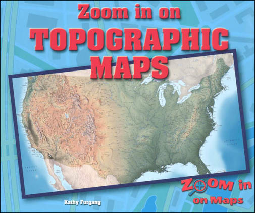
You are planning a huge bike trip, so how can you find out where the mountains and flat lands are? Zoom in on a topographic map to find out. This graphic-heavy and instructive book introduces the reader to the basics of using topographic maps. They are introduced to the way elevations and contours of the land are shown on maps, and how to read the details shown on these maps. A follow-up activity encourages readers to use a contour map to plan a camping trip.
Zoom in on Topographic Maps
SKU
035215
ISBN
9780766094260
Grade K-4
These icons are designed to help you quickly understand and learn important information about our products.
Teaching Method
Traditional
Teacher-centered curriculum commonly used in classrooms that may include a text, teacher manual, tests, etc.
Charlotte Mason
A methodology based on the work of a 19th century educator who maintained that children learn best from literature (Living Books), not textbooks.
Classical
A methodology based on the Latin Trivium (three stages of learning), including the grammar stage (memorization and facts), logic stage (critical thinking), and rhetoric stage (developing/defending ideas).
Unit Study
A thematic or topical approach centered around one topic that integrates multiple subject areas.
Montessori (Discovery)
A methodology based on the work of a 20th century educator that emphasizes student and sensory-driven discovery learning and real-life applications.
Other
Other methodologies
Religious Content
Secular
Contains content contrary to common Christian beliefs (i.e. evolution).
Neutral
Avoids religious or theoretical topics or presents multiple viewpoints without preference.
Christian/Religious
Faith-based or including instructional religious content.
Learning Modality
Auditory
Learns through listening, talking out loud or reading out loud.
Visual
Learns through seeing, prefers written instructions and visual materials.
Kinesthetic/Tactile (Hands-On)
Learns through moving, doing and touching.
Multi-Sensory
Curriculum that employ a variety of activities/components.
Presentation
Sequential
Curriculum progresses through well-defined learning objectives. Emphasizes mastery before moving to the next topic.
Spiral
Topics and concepts are repeated from level to level, adding more depth at each pass and connecting with review.
Conceptual/Topical
Focus is on the “why,” often with a unifying concept as well as specific skills; coverage may be broader.
Teacher Involvement
Low Teacher Involvement
Student-led materials; parent acts as a facilitator.
Medium Teacher Involvement
A mix of teacher-led time and independent student work.
High Teacher Involvement
Teacher-led lessons; may utilize discussions, hands-on activities and working together.
Additional Materials Required
No other materials needed
Everything you need is included.
Other Materials Required
There are additional required resources that are a separate purchase.
Other Materials Optional
There are additional resources mentioned or recommended but are not absolutely necessary.
Consumable
Consumable
Designed to be written in; not reusable.
Non-Consumable
Not designed to be written in; reusable.
Our Price
$10.95 $10.95 $4.88
Rainbow Savings: $6.07
Description
Publisher's Description of Zoom in on Topographic Maps
Category Description for Zoom in on... Series
With simple text and lots of pictures and illustrations, children will learn all about the different types of maps and their functions. Each book begins with a short intro on the different aspects of a map (such as the compass rose, legend, and scale) and then ventures on to talk about the specifics of each type of map. An activity is included at the end. Approximately 7" x 8.5". 24 pgs, pb. -Emily G
Details
| Product Format: | Paperback |
|---|---|
| Grades: | K-4 |
| Brand: | Enslow Publishers |
| Author: | Kathy Furgang |
| ISBN: | 9780766094260 |
| Length in Inches: | 7.125 |
| Width in Inches: | 8.375 |
| Height in Inches: | 0.125 |
| Weight in Pounds: | 0.2 |
Videos
Reviews