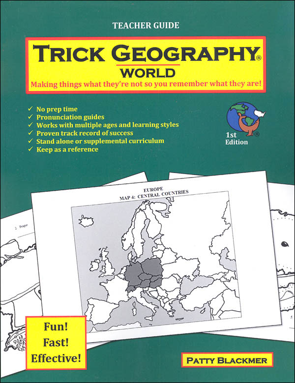
Tricked into learning geography? Not a bad idea. In Trick Geography, clever word associations provide an engaging method for learning countries (shape and name), capitals, and physical features of each continent. Continents are studied country-by-country within regions. Images of a single object are embedded within the outline of each country. These objects either sound like the country (dotted swan for Botswana) or are somehow associated with the country (pyramid with top falling off for Egypt). Capitals are learned by adding a second object to the first and connecting with a trick sentence (Put the fish with fins in water and he'll sink - Helsinki, Finland). Additional phrases or sentences illustrate the physical features (It's real grand because it separates two countries. - Rio Grande River). Components for each course include a Teacher Guide and Student Book (The World course also includes a Test Book). There are suggested weekly and daily schedules. Units are self-contained and can be studied in any order.
Teacher Guides include general course instructions plus all the funny and creative word associations for each unit. There is no prep or learning curve for teachers - just pick up and go. A pronunciation guide is provided. Daily work involves showing a map with a specific region highlighted and then a second enlarged map of the region showing countries with mnemonic images and spaces for students to write out the key words and phrases. Typically, a week will be spent on one region with continents covered over various numbers of weeks. Consumable Student Books are maps - and more maps. The region being studied is always shown highlighted within the continent and then enlarged with images superimposed. Graphics are fun and the general appearance is uncluttered. There are also cardstock Review Cards available separately. These double-sided 8.5" x 11" cards show a blank outline map (with capitals starred) on the front and a listing of country and capital names listed on the back, in the order presented in the curriculum. These cards are on cardstock and not laminated. A student could use them as self-review between lessons. Sets include teacher and student books.
The general pacing is two maps per week for elementary and two-three maps per week for middle school and older. This means that the World course can be completed in one year by middle school and older students. The Continent(s) and USA courses will take approximately 5-9 weeks each but all studies can be supplemented. Optional activities include traced maps and bubble maps (a method of freehand drawing a bubble outline of countries/states within a region - done both with and without looking at a map). Numerous other activities are suggested including quizzes, puzzles, flashcards, etc. Tests are fill-in-the-blank maps done from memory and are completed by region and continent. Course materials are available by continent(s) or in a combined World volume that includes all continents, countries, capitals, and physical features but not US states. Tests are included at the back of student books, except for the World course which has its own test book.
Visual repetition and fun mnemonic associations mean successful learning for almost any type of learner. Teacher Guides: (USA) 61 pgs- (World) 137 pgs, pb. Student Books are nonreproducible: (USA) 55 pgs- (World) 180 pgs, pb. ~ Janice