Learn a lot about U.S. geography by taking a trip across the U.S.A. A big, colorful 11" x 17" map accompanies this engaging book, giving students plenty of practice using a map as they "travel" all over the country. Fifty pages of questions and activities have students practice using direction, position, distance, and comparison, analyze information, and draw conclusions. Besides learning basic map skills, your children will learn a great deal about the individual states including locations, abbreviations, nicknames, industry, and more. Even math and reading skills are put to good use as children compute mileage and distance, navigate time zones, and read charts. At the end of the book is a blank map of the U.S. for children to write the names of the states in (after finishing this book, it should be easy), a list of state nicknames and abbreviations, and an answer key.
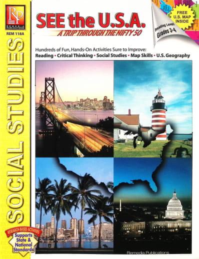
See the USA - Trip Through the Nifty Fifty
Description
Students of all ages will have a great time using the large, colorful U.S. map (included) to guide them as they travel across the country via hypothetical situations. From Alaska to West Virginia, and Seattle to Boston, students follow directions and pinpoint locations in a series of clever activities designed to improve reading, critical thinking, social studies, and map skills.
Delightful, hands-on exercises focus on direction, position, distance, and comparison. State abbreviations, nicknames, products, industry, zip codes, and time zones are also introduced. In addition, some activities include the use of charts which contain facts about specific states or geographic regions. Together, these activities provide a wonderful opportunity for students to read and analyze information, draw conclusions, and SEE the USA!
| Product Format: | Softcover Book |
|---|---|
| Grades: | PK-AD |
| Brand: | Remedia Publications |
| ISBN: | 9781561751563 |
| Length in Inches: | 11 |
| Width in Inches: | 8.5 |
| Height in Inches: | 0.25 |
| Weight in Pounds: | 0.4 |