We use cookies to make your experience better. To comply with the new e-Privacy directive, we need to ask for your consent to set the cookies. Learn more.
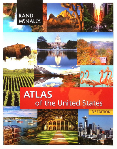
Atlas of the United States 3rd Edition
SKU
036558
ISBN
9780528027222
Grade 3-6
These icons are designed to help you quickly understand and learn important information about our products.
Teaching Method
Traditional
Teacher-centered curriculum commonly used in classrooms that may include a text, teacher manual, tests, etc.
Charlotte Mason
A methodology based on the work of a 19th century educator who maintained that children learn best from literature (Living Books), not textbooks.
Classical
A methodology based on the Latin Trivium (three stages of learning), including the grammar stage (memorization and facts), logic stage (critical thinking), and rhetoric stage (developing/defending ideas).
Unit Study
A thematic or topical approach centered around one topic that integrates multiple subject areas.
Montessori (Discovery)
A methodology based on the work of a 20th century educator that emphasizes student and sensory-driven discovery learning and real-life applications.
Other
Other methodologies
Religious Content
Secular
Contains content contrary to common Christian beliefs (i.e. evolution).
Neutral
Avoids religious or theoretical topics or presents multiple viewpoints without preference.
Christian/Religious
Faith-based or including instructional religious content.
Learning Modality
Auditory
Learns through listening, talking out loud or reading out loud.
Visual
Learns through seeing, prefers written instructions and visual materials.
Kinesthetic/Tactile (Hands-On)
Learns through moving, doing and touching.
Multi-Sensory
Curriculum that employ a variety of activities/components.
Presentation
Sequential
Curriculum progresses through well-defined learning objectives. Emphasizes mastery before moving to the next topic.
Spiral
Topics and concepts are repeated from level to level, adding more depth at each pass and connecting with review.
Conceptual/Topical
Focus is on the “why,” often with a unifying concept as well as specific skills; coverage may be broader.
Teacher Involvement
Low Teacher Involvement
Student-led materials; parent acts as a facilitator.
Medium Teacher Involvement
A mix of teacher-led time and independent student work.
High Teacher Involvement
Teacher-led lessons; may utilize discussions, hands-on activities and working together.
Additional Materials Required
No other materials needed
Everything you need is included.
Other Materials Required
There are additional required resources that are a separate purchase.
Other Materials Optional
There are additional resources mentioned or recommended but are not absolutely necessary.
Consumable
Consumable
Designed to be written in; not reusable.
Non-Consumable
Not designed to be written in; reusable.
Our Price
$15.00 $15.00 $11.50
Rainbow Savings: $3.50
Description
This Rand McNally Atlas is colorful and appealing for middle-grade students. The atlas begins with a Discoverer's Tools section that introduces students to map reading and terminology such as map projections, directions, grid systems, legends, and symbols. Next is a world maps section with physical, political, climate, environment, and population density maps. The U.S. maps section includes even more types of maps, with physical, political, climate, environment, population density, and time zone maps. A Regions of the United States contains close-up, detailed regional maps along with a narrative overview and captioned photos of landmarks and charts pertaining to unique topics of interest within the region. The text is large and readable, with bold vocabulary words keyed to an index. "Time to Explore" boxes scattered throughout the atlas challenge students to use map reading skills to answer questions. The final section of the atlas, Settlement of the United States, begins with a timeline showing the population growth of our country. Maps showing U.S. population changes are included, such as Native American homelands, routes to the New World, the original thirteen colonies, and immigration patterns. The back of the book includes state tables with statistics (i.e., population, population rank, area in square miles, year admitted to the Union, capital city). A glossary is included. 128 pgs, pb. ~ Lisa
Details
| Product Format: | Softcover Book |
|---|---|
| Brand: | Rand McNally & Company |
| Grades: | 3-6 |
| ISBN: | 9780528027222 |
| Length in Inches: | 10.875 |
| Width in Inches: | 8.5625 |
| Height in Inches: | 0.25 |
| Weight in Pounds: | 0.8 |
Videos
Reviews